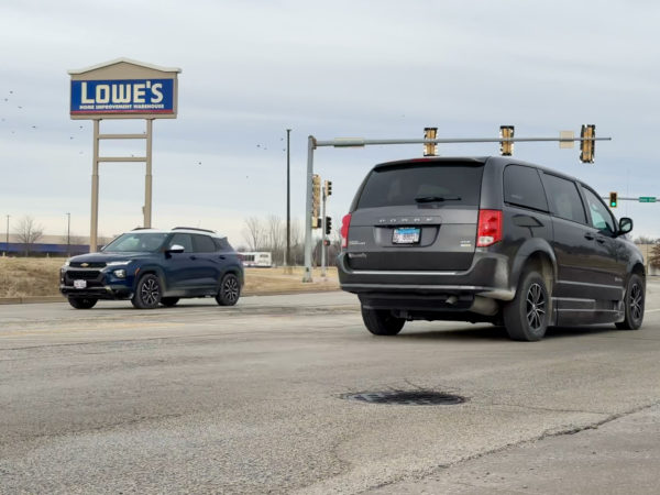
A new pavement management system will help the city better plan for maintenance and rehabilitation projects on Galesburg streets, and at the same time save money.
Alderman on Monday approved a proposal submitted by Decision Optimization Technology in the amount of $100,000 to provide pavement management services for the city.
Aaron Gavin, city of Galesburg engineer, tells WGIL the system will assist city staff in the decision-making process when selecting maintenance treatments and locations for roadway improvement projects.
“Having this information readily available will improve transparency and our ability to communicate to elected officials and the public why we’re spending city funds on certain streets or projects,” Gavin said. “And, it should help save the city money in the long-term.”
Cost of new $100,000 system offset by state grant
The entire $100,000 price tag will be reimbursed by a Statewide Planning and Research Grant through the Illinois Department of Transportation (IDOT).
Gavin said Decision Optimization Technology will use equipment to collect high-resolution imagery of all city streets, noting it has technology designed to analyze the imagery and give a pavement rating.
At the same time DOT is recording the pavement images, it will be collect other roadway assets such as signage, utility manholes, curb, sidewalk, streetlights, hydrants, and pavement markings.
All of the data will be GPS-tagged and integrated into the city’s GIS mapping.
“The software will help city staff to plan maintenance and rehabilitation projects on city streets using our budget constraints and other factors,” Gavin said.
“One goal is to be more proactive by doing lower-cost maintenance work on our pavements that will save the city money in the long run in managing our pavement.”
New system will be operational by September
Currently, the city utilizes part-time summer interns to collect pavement data on one-third of the city’s streets each summer. The information gives the city a pavement rating or PCI (Pavement Condition Index) score that is mapped in its GIS.
Gavin said the city does not have pavement management software like the one it will purchase.
“Due to staffing constraints, it has been difficult to keep it up to date and it is not complete,” he said.
The city expects to have access to the software with all of the data by the end of September.